
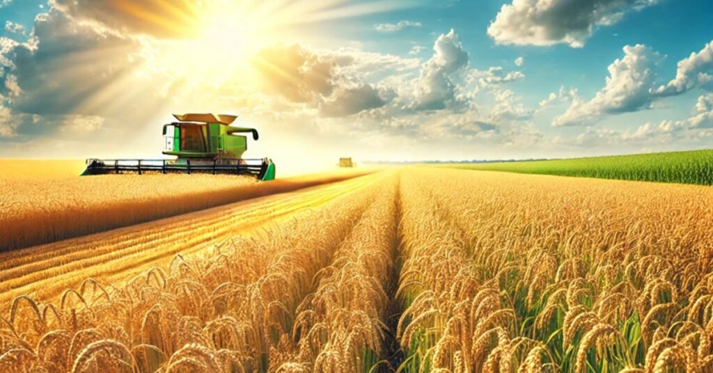
The yield of agricultural crops depends on the quality of the soil, the level of moisture, fertilizers, weather conditions and the accuracy of agricultural work. Rational use of resources and timely identification of problem areas help to increase productivity. GPS navigation allows farmers to optimize equipment routes, reduce losses and achieve stable yields at minimal costs.
GPS navigation in agriculture: how a farmer achieved record harvest
Modern GPS navigation technologies can significantly optimize agricultural work and increase crop yields through precise planning, rational use of resources, and minimization of human error. Factors that led to 20% increase in crop yields after the introduction of the GPS navigation system:
- optimization of agricultural machinery routes. The use of precise GPS navigation made it possible to minimize overlaps and gaps in field processing. This is especially important for seeding, fertilizing and spraying, where every meter matters;
- precise application of fertilizers and water. The GPS navigation system made it possible to analyze soil data and adjust fertilizer and water application rates depending on the needs of each plot. Thanks to this, plants received optimal nutrition, which contributed to their healthy growth and reduced fertilizer costs;
- automatic field mapping. Using of digital field maps allowed farmer to identify areas with low fertility and adjust processing strategies. Thanks to GPS and satellite monitoring data, it was possible to identify problem areas in advance, which helped to prevent a decrease in yield;
- reduced mechanical impact on the soil. GPS navigation helped to reduce the number of unnecessary machine passes, which reduced soil compaction. This contributed to improving of aeration and water permeability, which directly affected the development of the root system of plants and increasing in yield;
- increasing sowing accuracy. By using parallel driving, it was possible to achieve perfect row placement without gaps or overlaps. This led to uniform crop growth and reduced competition between plants for resources;
- yield control and forecasting. The use of GPS navigation in combination with mapping made it possible to collect data on the condition of crops in real time. This made it possible to forecast yields, identify potential problems in advance and quickly respond to changes in plant growth conditions.
The farmer also reduced time of completing agricultural work, which allowed him to complete seasonal tasks faster and reduce costs for fuel, labor and equipment maintenance. The introduction of GPS navigation helped to reduce production costs without sacrificing product quality.
FieldBee tractor GPS — an innovative solution for efficient field management
FieldBee tractor GPS App is an accurate and convenient solution for farmers that allows them to automate field navigation and mapping. With RTK correction support, it minimizes errors in land cultivation, and the automatic recording of operations eliminates manual record keeping.
Farmers can import maps, download cadastral documents or draw field boundaries manually, which simplifies agricultural planning. The application is compatible with various tractor models, supports different driving patterns and works effectively even in low visibility conditions. All this makes FieldBee tractor GPS app a reliable assistant in precision farming, reducing costs and increasing yields.