
Autonomous drone LiDAR systems are transforming various industries by providing highly accurate and detailed 3D mapping capabilities. These systems benefit from a merger of advanced software and sensors to collect data related to a specific location on Earth without any human effort.
If you had just heard about these, then you are reading the right blog, as we will discuss how an autonomous drone LiDAR works to deliver the best results.
What is LiDAR?
LiDar’s full form is Light Detection and Ranging. It’s a sensing method that serves the purpose remotely, using pulsed laser light to measure variable distances to the Earth. Like radar uses radio waves, LiDAR uses light waves, and here the system releases rapid pulses of laser light and measures the time it takes for each pulse to return after hitting an object.
This “time-of-flight” measurement, mixed with the accurate angle at which the laser was discharged, enables it to calculate the distance to objects, creating a dense collection of 3D points, termed a point cloud.
Continue your journey: This related article is worth your time.
The Working
An autonomous drone LiDAR consists of a bunch of key components that help it work flawlessly in the following way:
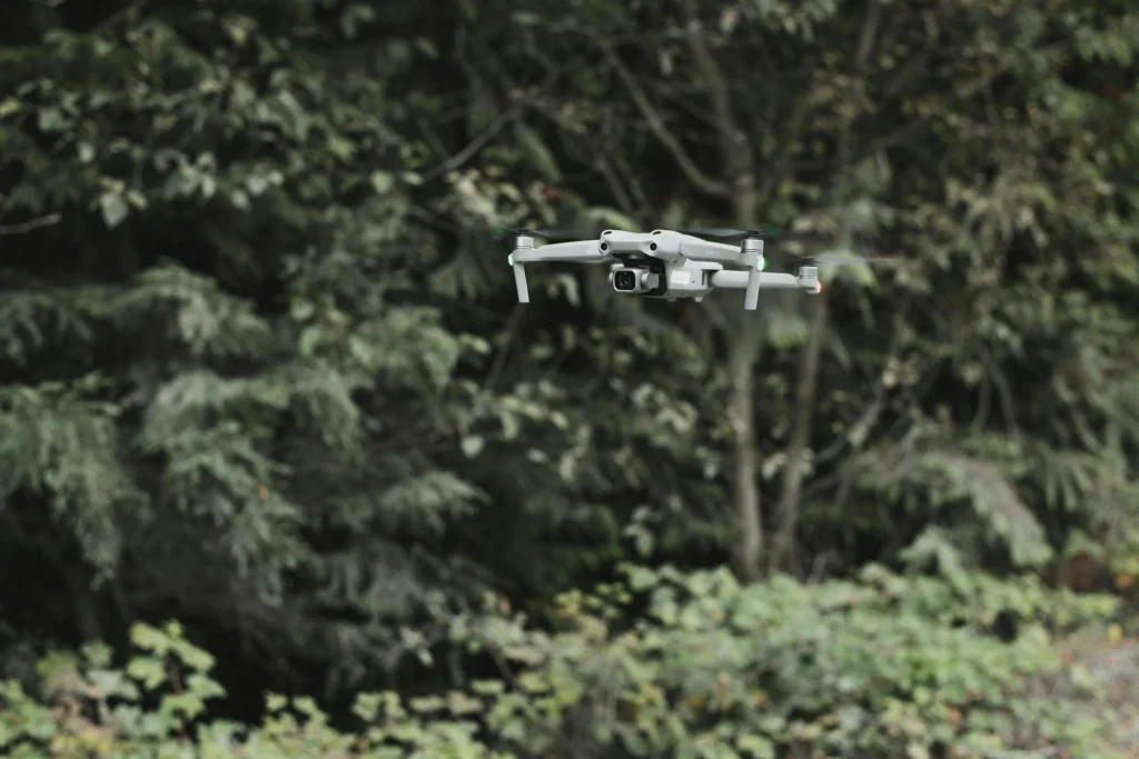
The Drone Platform
It is an unmanned aerial vehicle, responsible for carrying the LiDAR sensor and linked equipment. The modern versions are designed for stability, extended flight times, and usually have premium navigation capabilities.
LiDAR Sensor
This sensor emits thousands to millions of laser pulses per second. When these pulses hit objects such as trees, buildings, or the ground, a small portion of the light is also reflected back. The sensor measures the time-of-flight for each pulse. Knowing the speed of light, it becomes easier for the system to calculate the exact distance to that object.
Inertial Measurement Unit
The IMU is vital for figuring out the orientation and angular velocity of the drone in 3D space. The unit measures parameters such as pitch, yaw, and roll and is crucial for correcting the laser pulse measurements, guaranteeing that each data point is exactly georeferenced irrespective of the device’s motion.
Global Navigation Satellite System Receiver
GNSS is like a GPS, which provides precise geographical positioning of the drone. The receiver tracks satellite signals to determine the drone’s altitude, longitude, and latitude. When merged with the positioning data, the GNSS promises that every reflected laser pulse is accurately situated in a global coordinate system.
Onboard Computer and Software
You can call this the brain of the whole system. The onboard computer processes the raw data from the sensor, IMU, and GNSS in real-time. The thing uses algorithms, including Simultaneous Localization and Mapping, for a detailed 3D point cloud to be built. This is a collection of millions of individual data points, each representing a precise coordinate in space. On top of that, machine learning algorithms can polish this data, avoid obstacles, and activate truly autonomous flight paths.
If the autonomous drone LiDAR system has caught your interest, then you can buy from Lightware.
Frequently Asked Questions
Can autonomous drone LiDAR systems work at night or in bad weather?
They can operate effectively in low-light conditions or even complete darkness.
What’s the main difference between LiDAR and a regular camera for mapping?
While a regular camera captures 2D images, LiDAR uses laser pulses to measure distances.
Curious hearts and bright minds—follow the path to more wisdom on 2A Magazine.